


The target of this project is to obtain a forest map of 2005 and 2010 and to conduct field surveys to gain data for forest map validation and carbon mapping. To establish the regional cooperation among GMS economies and Malaysia for Sustainable Forest Management (SFM).
To establish the database of existing data and reference datum.
To establish the remote sensing database and generate carbon maps on test sites.
To measure forest field plots centered by ICES at GLAS footprint from typical forests for biomass estimation.
To establish classification validation plots for forest distribution maps evaluation.
To produce forest distribution maps of 2005 and 2010 for Thailand
Data Products:
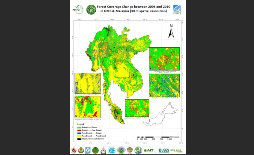
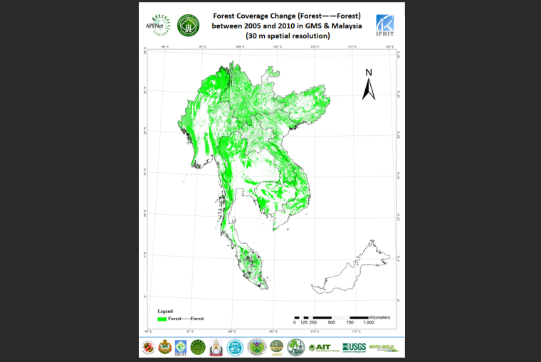
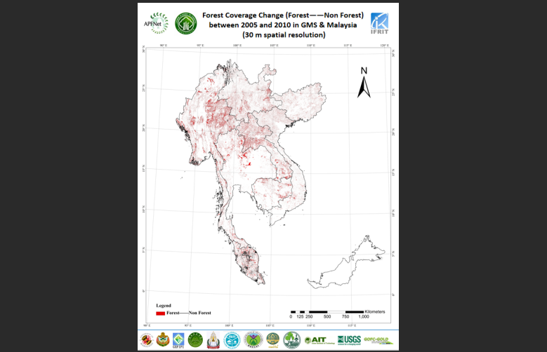
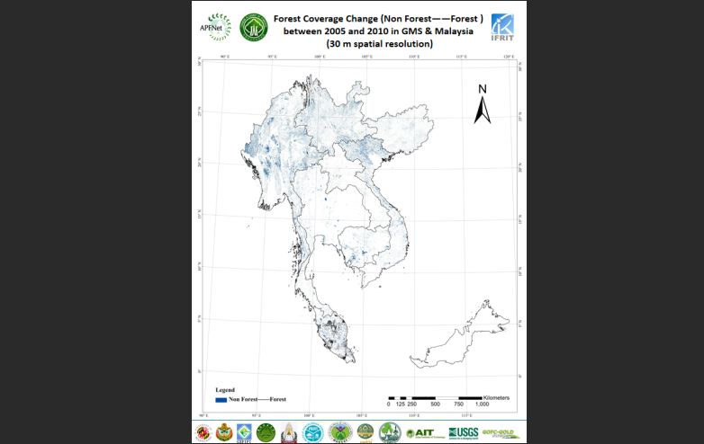
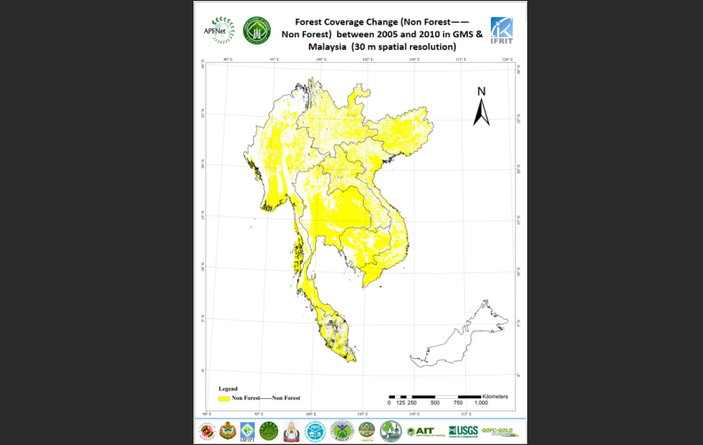
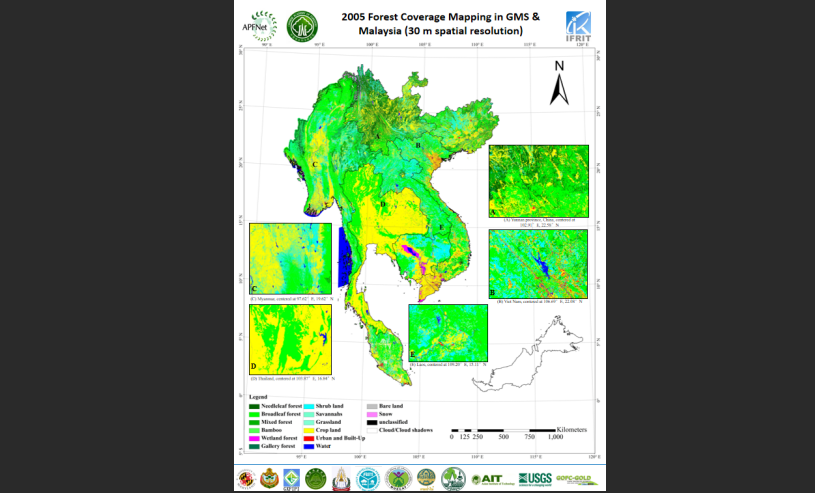
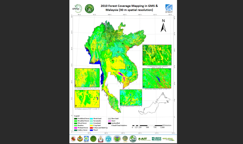
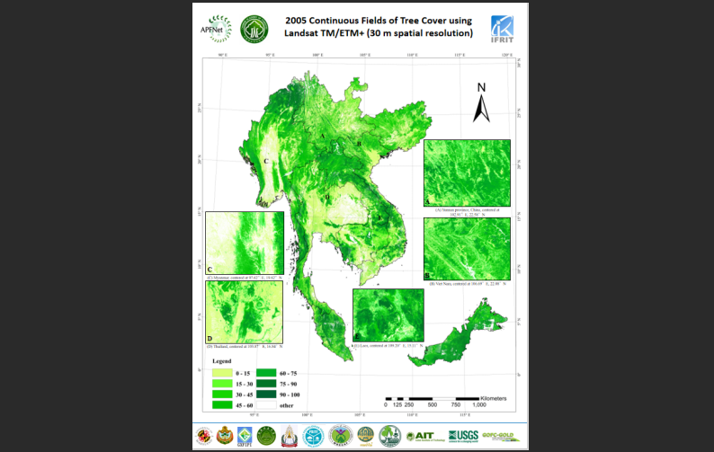
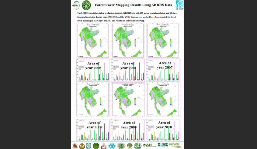
Forest Coverage Maps: Produced mid-resolution (30m) forest maps for 2005 and 2010, revealing a regional forest net loss of 2.2% (48.4% to 46.2%). Coarse-resolution (500m) annual maps (2005–2010) tracked yearly changes, identifying hotspots of loss (e.g., Laos, Myanmar) and gain (e.g., Vietnam, Yunnan, China).
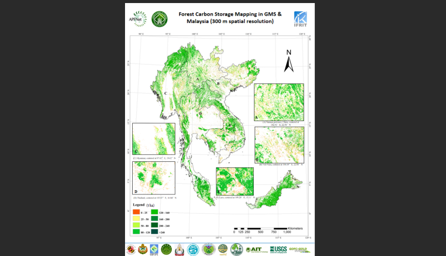
Carbon Storage Map: A 300m-resolution map (2005) highlighted high-density carbon areas in Northern Myanmar, Yunnan/Guangxi (China), Laos-Vietnam borders, and Malaysia.
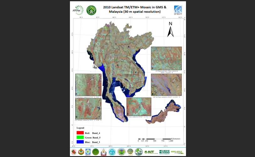
Databases: Established remote sensing (Landsat, MODIS, GLAS) and distributed ground truth databases for validation and training.
Capacity Building:
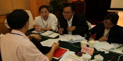
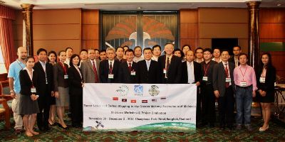
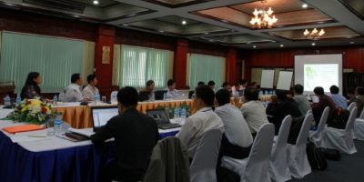
Conducted 6 training workshops (e.g., Beijing, Vientiane, Bangkok) to enhance skills in remote sensing, GIS, and carbon estimation.
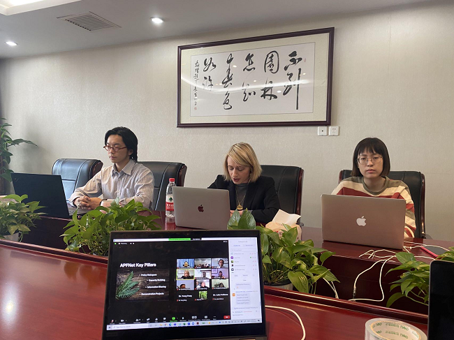
Strengthened collaboration among 10+ institutions across 8 economies, fostering regional expertise in sustainable forest management.
Methodological Advances:
Developed standardized workflows for data processing, forest classification, and carbon estimation using multi-source data (Lidar, optical/radar satellites).
Integrated ground measurements with spaceborne Lidar (ICESat GLAS) to improve biomass/carbon mapping accuracy.
Policy Support: Maps and analysis provided actionable insights for combating illegal logging, guiding afforestation, and informing climate mitigation strategies.
Sustainability: Carbon maps aid in prioritizing conservation areas, while forest change data supports monitoring of degradation and recovery.
Regional Collaboration: Enhanced cross-border cooperation and data-sharing mechanisms among GMS countries and Malaysia.