


To enhance regional forest monitoring capabilities and improve sustainable forest management practices through advanced remote sensing technologies and data integration.
Enhance the capacity for regional-level forest resource monitoring and analysis using medium resolution remote sensing data, and link forest change characteristics with forest policies.
Improve stand-level forest inventory capabilities using high-resolution remote sensing data and airborne laser scanning technology.
Strengthen the network for forest monitoring in the region by establishing a regional forest observations mechanism and providing related capacity building supports.
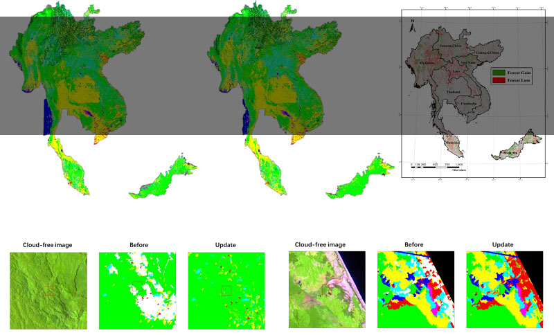
A forest coverage map of 2017 at 30 m spatial resolution.
Analysis of forest change and its driving forces during 2005–2017.
Stand-level inventory maps using high-resolution data at selected sites.
Estimated forest carbon maps at selected sites using airborne laser scanning technology.
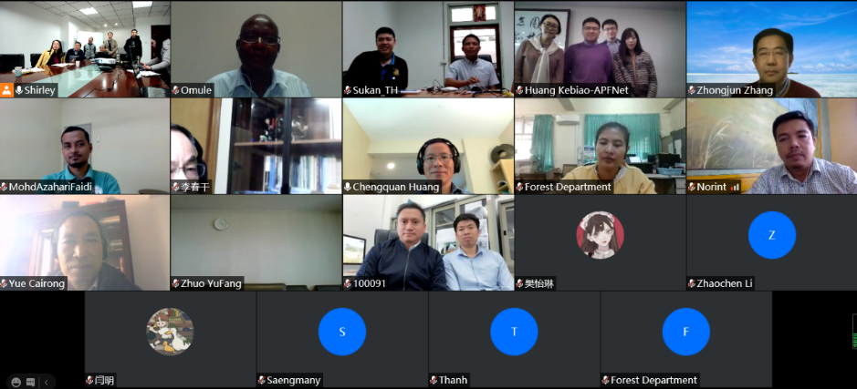
A mechanism for regional forest observations established.
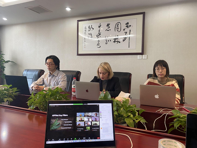
Enhanced capacity building through the Regional Forest Observations (RFO) mechanism in the region.
The project is expected to significantly enhance the capabilities of regional forest monitoring, leading to better-informed decision-making and policy development for forest management. By producing high-resolution forest maps and analyzing forest change, the project will provide valuable insights into the dynamics of forest cover and its relationship with environmental and human factors. The establishment of a regional forest observation mechanism will foster collaboration among participating economies, enhancing their capacity to manage and conserve forest resources effectively. Additionally, the project’s focus on capacity building will ensure that local experts are equipped with the necessary skills and technologies to continue advancing sustainable forest management practices in the region.